Any Activity
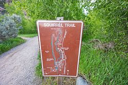
Squirrel Trail
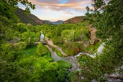
Featured Route
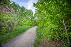
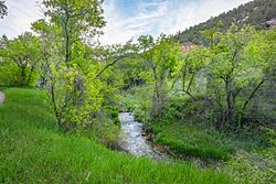
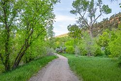
This trail accesses the walk-in tent campsites at Rifle Falls and connects to the Rifle Falls day use parking lot. It meanders along Rifle Creek, passes beneath the canopy of a Gambel Oak forest, climbs to an overlook of the valley below, and then follows along the Grass Valley Canal to connect with the Coyote Trail near Rifle Falls.
 Hiking
 Biking
- Out & Back
- Loop
 Dog Friendly
 Wildlife
- Kid-Friendly
- Scenic
Photos
Elevation Profile
Loading…
Timeline
Trip Reports
No trip reports yet