Any Activity
 Hiking
 Biking
 Horseback Riding
 Motorcycle Riding
 ATV Riding
 OHV Riding (>50”)
 Nordic Skiing
 Snowmobiling
 Snowshoeing Hiking Biking Horseback Riding Motorcycle Riding ATV Riding OHV Riding (>50”) Nordic Skiing Snowmobiling Snowshoeing
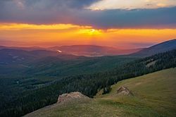
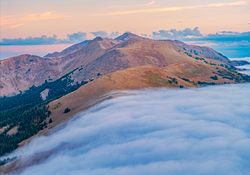
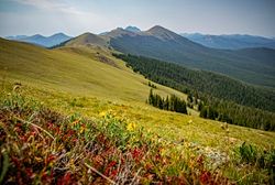
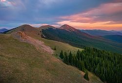
The Montgomery Pass trail is a really fun OHV/high clearance vehicle and hiking route found in the heart of State Forest State Park, which ends in the alpine with amazing views in all directions.
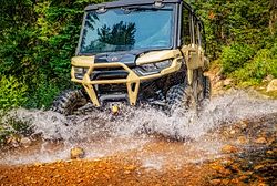
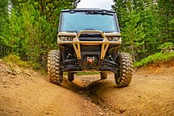
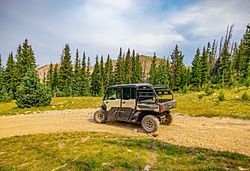
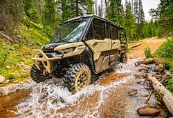
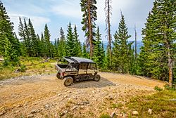
To reach Montgomery Pass you first have to travel via a OHV or high clearance vehicle up Montgomery Pass road. NOTE this trail has several significant obstacles and a high clearance 4 wheel drive is necessary. A regular 4 wheel-drive vehicle is going to have serious issues and should not be used. In addition to several significant obstacles along the way, there are also stream crossings that can be tricky early in the season when runoff is going strong. The road to the trailhead is 3.9 miles with 2,031 feet of gain.
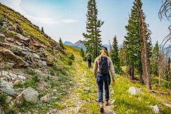
Once at the hiking trailhead, which is right at tree-line, the rest of the route to the pass is via hiking/biking routes and is non-motorized. From the trailhead its a short 0.3 miles (with 166 feet of gain) to the main alpine ridge. Expect a few local marmots to keep you company on this section.
Once on the ridge you can choose your own adventure….You can turn left and up towards Clark Peak and the Rawah Wilderness. To reach Clark Peak, which is the highest of the Medicine Bow Mountains, it is ~4 miles and 3,650 feet of gain (and 2,000 feet of loss). It does stay mostly along the ridge and although there is no official trail, it is generally easy to follow faint social trails on the tundra. There are a lot of ups and downs as you go over many unnamed peaks so prepare for a big day at elevation.
You can also turn right and begin a descent to Montgomery Pass (which is 0.7 miles and -326 feet of loss) and continue down to the trailhead along Hwy 14 or continue along the ridge to the very scenic Diamond Peaks. To the Diamond Peaks it is ~2.2 miles with 1,100 feet of gain (as well as 570 feet of loss as you descent to the pass itself). From the Diamond Peaks, the views of the Nokhu Crags and peaks in northern Rocky Mountain national are stunning.
For those going to the Diamond Peaks or towards Clark Peak, just be aware that you will be along an exposed ridge the entire way so be aware of weather and conditions before you set out.
Hiking ATV Riding Biking Motorcycle Riding Horseback Riding OHV Riding (>50”) Alpine
 Dog Friendly
 Wildlife