Featured Routes

 Lake Agnes Featured Route


 0.8mi
 Pearl Lake Trail Featured Route


 3.4mi
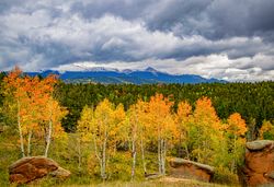 Homestead Trail to Grouse Mountain Featured Route 5¼mi Mueller SP
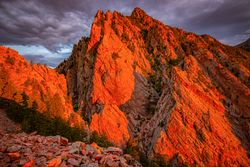 Fowler Trail Featured Route
 ¾mi
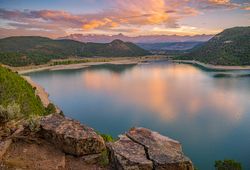 Cookie Tree Trail Featured Route
 1mi Ridgway SP
 Mosca Pass Featured Route 6½mi Great Sand Dunes NP
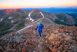 Mt. Sherman Featured Route
 2½miMonarch Spur Trail Featured Route 3.9mi
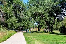 Anderson Park to Creekside Park Featured Route 2¼mi
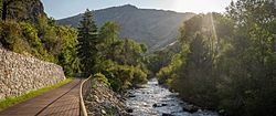 Clear Creek Canyon Loop Featured Route 3.6mi
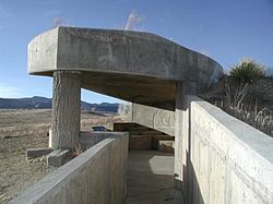 Raptor Observatory Trail Featured Route 877ft
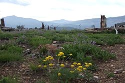 Valley Loop Trail Featured Route 4.2mi
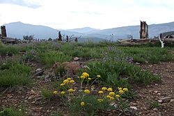 Bobcat Ridge Picnic Shelter Trail Featured Route 0.4mi
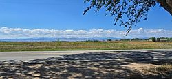 Dickens Park to Sandstone Ranch Featured Route 5.1mi
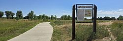 Lykins Gulch Trail Featured Route 3.4mi
 Racoon Trail Featured Route 2.6miMt. of the Holy Cross Featured Route 5mi
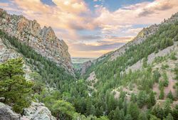 Rattlesnake Gulch Loop Featured Route
 3.6mi
 Rogers Grove Park to Izaak Walton Park Featured Route 1.9mi
 Dickens Farm Loop Featured Route 0.8mi